top of page

COMING SOON
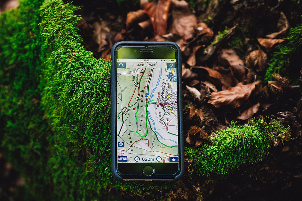
GIS/GPS Mapping provides key information needed to assess wildlife habitats. This system enables the data to be viewed as maps that allow for better understanding of pertinent wildlife data (such as deer surveys, vegetation mapping, planned prescribed burning areas, etc).
bottom of page